
THE OVERVIEW
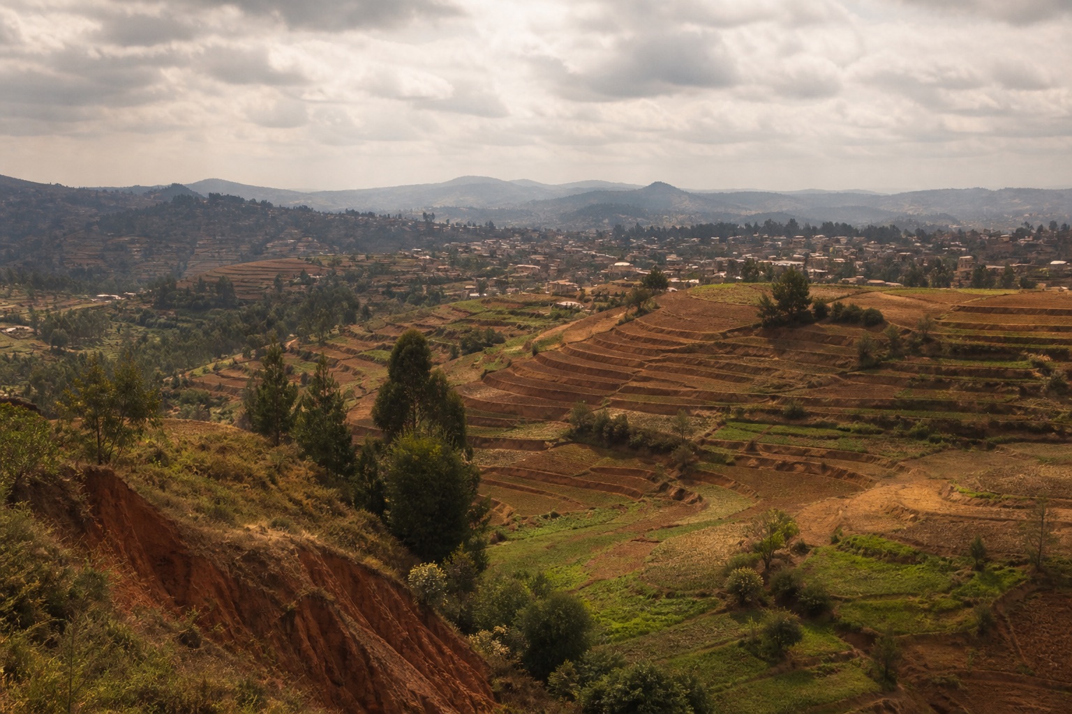
Plan Madagascar as a demanding set of regional journeys through unique ecosystems, Malagasy cultures and layered histories, choosing one or two corridors according to season and transport reliability. Antananarivo and highlands: Museums, royal history and arrival logistics. Altitude, congestion, steep streets and demonstrations. Andasibe: Rainforest and indri habitat. Rough roads, wet trails and limited medical facilities. Northern Madagascar: Rainforest, limestone and coastal diversity. Domestic flight reliance and difficult roads. Southwest and Isalo: Dry landscapes, communities and national parks. Very long road journeys, heat and remote services.
YEAR AT A GLANCE
The weather rhythm in Madagascar.
Climate averages, not a forecast. Current conditions still need checking before travel.
- Jan24.9° / 16.3°445.1 mm rain
- Feb24.6° / 16.2°360.8 mm rain
- Mar24.5° / 15.6°248.4 mm rain
- Apr23.9° / 14.2°99.3 mm rain
- May22.3° / 12°36.1 mm rain
- Jun20.5° / 9.6°31.3 mm rain
- Jul19.9° / 8.8°36.4 mm rain
- Aug21.5° / 9.2°24.2 mm rain
- Sep24° / 10.6°23.7 mm rain
- Oct26.1° / 13°72.4 mm rain
- Nov26.7° / 14.9°170.2 mm rain
- Dec25.9° / 16°333.9 mm rain
Average daily high, low and rainfall: NASA POWER Daily API, Madagascar destination coordinates (-18.7669, 46.8691), 1991 to 2020
area
Antananarivo and highlands
Museums, royal history and arrival logistics
Museums, royal history and arrival logistics
Details should be checked for your travel dates.area
Andasibe
Rainforest and indri habitat
Rainforest and indri habitat
Details should be checked for your travel dates.area
Northern Madagascar
Rainforest, limestone and coastal diversity
Rainforest, limestone and coastal diversity
Details should be checked for your travel dates.area
Southwest and Isalo
Dry landscapes, communities and national parks
Dry landscapes, communities and national parks
Details should be checked for your travel dates.experience
Rova of Antananarivo and upper city
Planning note
Use specialist interpretation to explore Merina monarchy, colonial conflict and restoration.
Details should be checked for your travel dates.experience
Anja Community Reserve
Planning note
Community management, cultural landscape and ring-tailed lemur habitat make this more than a wildlife stop.
Details should be checked for your travel dates.station
Ivato International Airport
airport
The main gateway lies north of Antananarivo; traffic and security conditions affect transfers.
Details should be checked for your travel dates.travel_advice
Madagascar climate normals
Verified 1991 to 2020 monthly averages
NASA POWER's complete 1991 to 2020 daily series at Madagascar's canonical coordinate shows average daily highs from 19.9°C to 26.7°C, lows from 8.8°C to 16.3°C and average monthly rainfall from 23.7 mm to 445.1 mm. These are historical gridded estimates, not a forecast.
Details should be checked for your travel dates.travel_advice
Choosing the time to go
Seasonal planning
April to November is generally drier for many overland routes, with cool highland nights. The wet cyclone season runs roughly December to March. Regional climates differ and road conditions can deteriorate rapidly.
Details should be checked for your travel dates.travel_advice
Plan the complete route
Access and practical detail
Obtain exact aircraft, vehicle, room, bathroom and activity transfer details before confirming. Remote medical evacuation cover and operator emergency procedures are essential. Wildlife, migration, weather and road conditions are live variables and must never be guaranteed.
Details should be checked for your travel dates.travel_advice
Current travel guidance
Keep official advice date-specific
Recheck entry, health, security, regional warnings and transport disruption before travel.
Details should be checked for your travel dates.STAY
Hotels to consider
A considered starting point, not a statement of availability or a booking recommendation.
Maison Gallieni
Small historic guesthouse
Madagascar
For intimate scale, city views and a quieter highland base.
Steep access and historic steps make it unsuitable for some mobility needs.Mantadia Lodge
Rainforest lodge
Madagascar
For a settled forest base with organised guiding.
Sloping grounds, rain and rough road access require detailed planning.Isalo Rock Lodge
Contemporary remote lodge
Madagascar
For a comfortable base near Isalo and broad landscape views.
The journey is long and most park trails are rough and exposed.ORIENTATION
A sense of place
Every marker uses coordinates supplied by the published Desk guide.
AT A GLANCE
Practical notes
- Typical stay
- Shape the stay around a coherent route and the required transfer time.
- When to consider
- April to November is generally drier for many overland routes, with cool highland nights. The wet cyclone season runs roughly December to March. Regional climates differ and road conditions can deteriorate rapidly.
- Climate
- NASA POWER historical data at the destination coordinates provide a complete 1991 to 2020 daily series aggregated into 12 calendar-month normals. Average daily highs range from 19.9°C to 26.7°C, lows from 8.8°C to 16.3°C and average monthly rainfall from 23.7 mm to 445.1 mm. These are historical gridded estimates, not a forecast.
- Getting around
- Ivato International Airport: The main gateway lies north of Antananarivo; traffic and security conditions affect transfers. Fascene Airport: A northern gateway for Nosy Be and connections; domestic schedule reliability needs buffers.
- Worth preparing for
- Obtain exact aircraft, vehicle, room, bathroom and activity transfer details before confirming. Remote medical evacuation cover and operator emergency procedures are essential. Wildlife, migration, weather and road conditions are live variables and must never be guaranteed. Recheck entry, health, security, regional warnings and transport disruption before travel.
Sources and credits
- Madagascar official tourism · Official destination organisation
- Maison Gallieni official website · Maison Gallieni
- Mantadia Lodge official website · Mantadia Lodge
- Isalo Rock Lodge official website · Isalo Rock Lodge
- Ivato International Airport official information · Ivato International Airport
- Madagascar travel advice · UK FCDO
- NASA POWER daily climate series, 1991 to 2020 · NASA POWER · NASA POWER daily gridded estimates at the destination coordinates; complete 1991 to 2020 daily maximum, minimum and corrected precipitation series aggregated into 12 calendar-month normals; raw response checksum e7dcdac846f3b9392cde64e3394e3a391c5fb10c04177febdd5d9c4f602e0fcf verified 2026-09-22
Guide last reviewed 22 September 2026.