
THE OVERVIEW
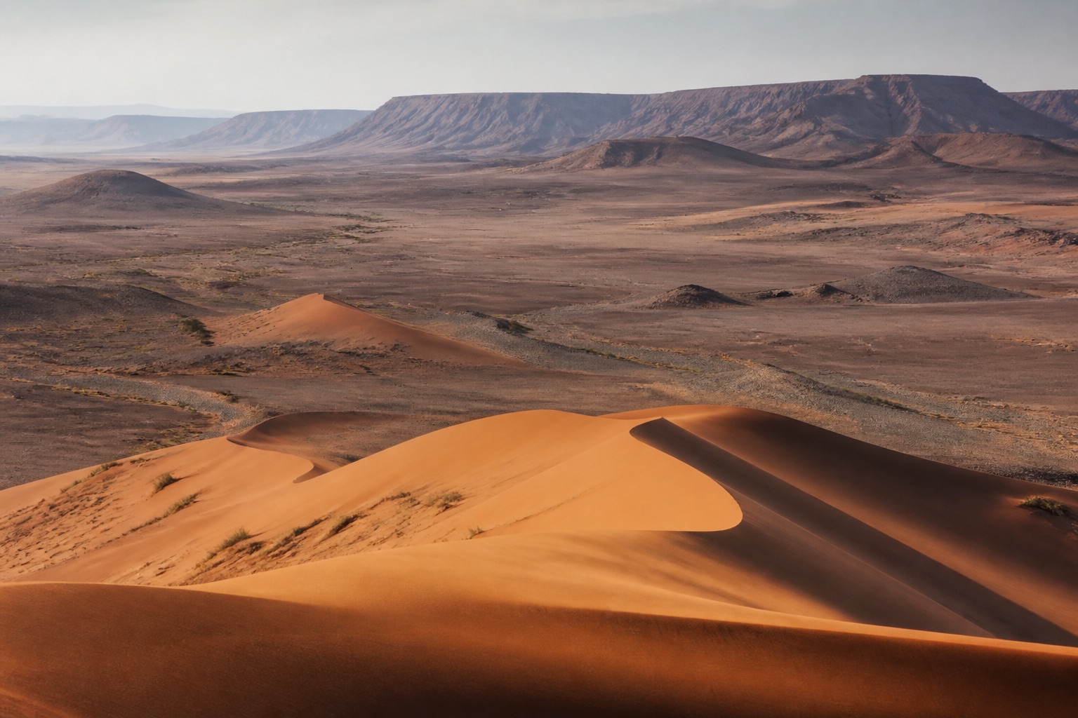
Plan Namibia around distance, desert ecology, colonial and genocide history, living communities and road safety, selecting fewer regions rather than treating the country as a photographic circuit. Windhoek: Arrival recovery, museums and logistics. Limited visitor programme and car dependence. Sossusvlei and Namib: Dune ecology and desert landscape. Extreme heat, sand and long road transfers. Swakopmund and Walvis Bay: Coastal history, marine ecology and cooler climate. Fog, colonial framing and adventure-tourism pressure. Etosha: Waterhole ecology and vehicle safari. Long drives, dust and seasonal crowding.
YEAR AT A GLANCE
The weather rhythm in Namibia.
Climate averages, not a forecast. Current conditions still need checking before travel.
- Jan34° / 19.4°64.1 mm rain
- Feb33° / 18.9°68.6 mm rain
- Mar31.9° / 17.5°46.5 mm rain
- Apr29.4° / 14°27.3 mm rain
- May26.5° / 9.7°3.5 mm rain
- Jun23.4° / 5.9°0.5 mm rain
- Jul22.9° / 5.4°0.3 mm rain
- Aug26.5° / 7.5°0.5 mm rain
- Sep30.8° / 11.4°3.7 mm rain
- Oct33.3° / 15.2°12.5 mm rain
- Nov34° / 17.2°23.8 mm rain
- Dec34.5° / 19°44.2 mm rain
Average daily high, low and rainfall: NASA POWER Daily API, Namibia destination coordinates (-22.9576, 18.4904), 1991 to 2020
experience
Independence Memorial Museum and Windhoek route
Planning note
Use independence history alongside German colonial architecture and the genocide of Ovaherero and Nama peoples.
Details should be checked for your travel dates.experience
Sossusvlei and Sesriem Canyon
Planning note
A specialist guide should interpret desert formation, water and adapted life rather than promise a dune climb.
Details should be checked for your travel dates.experience
Walvis Bay lagoon
Planning note
Birding and wetland interpretation provide a low-impact coastal experience when done from suitable viewpoints.
Details should be checked for your travel dates.experience
Etosha National Park
Planning note
Waterholes allow patient ecological observation without off-road pursuit.
Details should be checked for your travel dates.station
Walvis Bay Airport
airport
Useful for the central coast; limited schedules make protected connections important.
Details should be checked for your travel dates.travel_advice
Namibia climate normals
Verified 1991 to 2020 monthly averages
NASA POWER's complete 1991 to 2020 daily series at Namibia's canonical coordinate shows average daily highs from 22.9°C to 34.5°C, lows from 5.4°C to 19.4°C and average monthly rainfall from 0.3 mm to 68.6 mm. These are historical gridded estimates, not a forecast.
Details should be checked for your travel dates.travel_advice
Choosing the time to go
Seasonal planning
May to October is dry, with cold desert nights and peak wildlife demand. Summer is hot with localised thunderstorms. Coastal fog occurs year-round; road conditions need live checking.
Details should be checked for your travel dates.travel_advice
Plan the complete route
Access and practical detail
Obtain exact aircraft, vehicle, room, bathroom and activity transfer details before confirming. Remote medical evacuation cover and operator emergency procedures are essential. Wildlife, migration, weather and road conditions are live variables and must never be guaranteed.
Details should be checked for your travel dates.travel_advice
Current travel guidance
Keep official advice date-specific
Recheck entry, health, security, regional warnings and transport disruption before travel.
Details should be checked for your travel dates.STAY
Hotels to consider
A considered starting point, not a statement of availability or a booking recommendation.
The Delight Swakopmund
Contemporary town hotel
Namibia
For a central coastal base and straightforward modern rooms.
It is a town hotel rather than a wilderness stay.ORIENTATION
A sense of place
Every marker uses coordinates supplied by the published Desk guide.
AT A GLANCE
Practical notes
- Typical stay
- Shape the stay around a coherent route and the required transfer time.
- When to consider
- May to October is dry, with cold desert nights and peak wildlife demand. Summer is hot with localised thunderstorms. Coastal fog occurs year-round; road conditions need live checking.
- Climate
- NASA POWER historical data at the destination coordinates provide a complete 1991 to 2020 daily series aggregated into 12 calendar-month normals. Average daily highs range from 22.9°C to 34.5°C, lows from 5.4°C to 19.4°C and average monthly rainfall from 0.3 mm to 68.6 mm. These are historical gridded estimates, not a forecast.
- Getting around
- Hosea Kutako International Airport: The international airport is about 45 km from Windhoek; arrange a known accessible transfer. Walvis Bay Airport: Useful for the central coast; limited schedules make protected connections important.
- Worth preparing for
- Obtain exact aircraft, vehicle, room, bathroom and activity transfer details before confirming. Remote medical evacuation cover and operator emergency procedures are essential. Wildlife, migration, weather and road conditions are live variables and must never be guaranteed. Recheck entry, health, security, regional warnings and transport disruption before travel.
Sources and credits
- The Delight Swakopmund official website · The Delight Swakopmund
- Independence Memorial Museum and Windhoek route official information · Independence Memorial Museum and Windhoek route
- Sossusvlei and Sesriem Canyon official information · Sossusvlei and Sesriem Canyon
- Walvis Bay lagoon official information · Walvis Bay lagoon
- Walvis Bay Airport official information · Walvis Bay Airport
- Namibia travel advice · UK FCDO
- NASA POWER daily climate series, 1991 to 2020 · NASA POWER · NASA POWER daily gridded estimates at the destination coordinates; complete 1991 to 2020 daily maximum, minimum and corrected precipitation series aggregated into 12 calendar-month normals; raw response checksum 1dbfb1ea26dbd784d220b4493ff15d52efb17da79a11760b0f1cc600f3d290df verified 2026-09-22
Guide last reviewed 22 September 2026.